İçeriğe geç

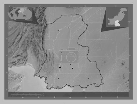
Sind, province of Pakistan. Grayscale elevation map with lakes and rivers. Locations and names of major cities of the r…

Önizleme filigranlıdır. Orijinal dosya lisans alındıktan sonra indirilir.

Açıklama

Sind, province of Pakistan. Grayscale elevation map with lakes and rivers. Locations and names of major cities of the region. Corner auxiliary location maps

Benzer içerikler

Sind, province of Pakistan. Grayscale elevation map with lakes and rivers. Locations of major cities of the region. Cor…
Yarr65 DP-637565194
Sind, province of Pakistan. Bilevel elevation map with lakes and rivers. Locations of major cities of the region. Corne…
Yarr65 DP-637565192
Sind, province of Pakistan. Bilevel elevation map with lakes and rivers. Corner auxiliary location maps
Yarr65 DP-637565224
Sind, province of Pakistan. Grayscale elevation map with lakes and rivers. Corner auxiliary location maps
Yarr65 DP-637565234
Sind, province of Pakistan. Bilevel elevation map with lakes and rivers. Locations and names of major cities of the reg…
Yarr65 DP-637565168
Cornwall, İngiltere idari kontluğu - Büyük Britanya. Gölleri ve nehirleri olan gri tonlama yükseklik haritası. Bölgenin…
Yarr65 DP-651441242
Yorkshire ve Humber, Birleşik Krallık bölgesi. Gölleri ve nehirleri olan gri tonlama yükseklik haritası. Bölgenin büyük…
Yarr65 DP-650939024
Srednje-Banatski, district of Serbia. Grayscale elevation map with lakes and rivers. Locations and names of major citie…
Yarr65 DP-642213042
Cornwall, İngiltere idari kontluğu - Büyük Britanya. Göllü ve nehirli çift katlı yükseklik haritası. Bölgenin büyük şeh…
Yarr65 DP-651441154
Kent, İngiltere idari kontluğu - Büyük Britanya. Gölleri ve nehirleri olan gri tonlama yükseklik haritası. Köşedeki yed…
Yarr65 DP-651517812
Kuzey Norfolk, İngiltere 'nin metropolitan olmayan bölgesi - Büyük Britanya. Gölleri ve nehirleri olan gri tonlama yüks…
Yarr65 DP-651536520
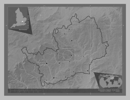
Hertfordshire, İngiltere idari kontluğu - Büyük Britanya. Gölleri ve nehirleri olan gri tonlama yükseklik haritası. Böl…
Yarr65 DP-651509738