İçeriğe geç

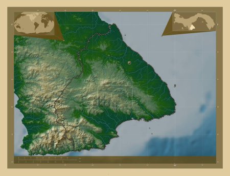
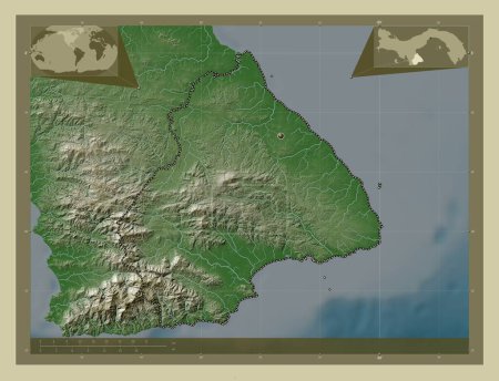
Los Santos, province of Panama. Elevation map colored in wiki style with lakes and rivers. Corner auxiliary location ma…
Önizleme filigranlıdır. Orijinal dosya lisans alındıktan sonra indirilir.

Açıklama

Los Santos, province of Panama. Elevation map colored in wiki style with lakes and rivers. Corner auxiliary location maps

Benzer içerikler

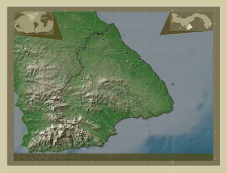
Los Santos, province of Panama. Elevation map colored in wiki style with lakes and rivers. Locations of major cities of…
Yarr65 DP-637567088
Los Santos, province of Panama. Colored elevation map with lakes and rivers. Locations of major cities of the region. C…
Yarr65 DP-637567070
Los Santos, province of Panama. Colored elevation map with lakes and rivers. Corner auxiliary location maps
Yarr65 DP-637567060
Los Santos, province of Panama. Elevation map colored in sepia tones with lakes and rivers. Corner auxiliary location m…
Yarr65 DP-637567086
Los Santos, province of Panama. Elevation map colored in sepia tones with lakes and rivers. Locations of major cities o…
Yarr65 DP-637567072
Lisboa, district of Portugal. Elevation map colored in wiki style with lakes and rivers. Corner auxiliary location maps
Yarr65 DP-637599322
Los Santos, province of Panama. Low resolution satellite map. Corner auxiliary location maps
Yarr65 DP-637567000
Bretagne, Fransa bölgesi. Yükseklik haritası göller ve nehirlerle wiki tarzında renklendirilmiş. Bölgenin büyük şehirle…
Yarr65 DP-612112198
Bretagne, Fransa bölgesi. Yükseklik haritası göller ve nehirlerle wiki tarzında renklendirilmiş. Köşedeki yedek konum h…
Yarr65 DP-612112234
Lisboa, district of Portugal. Elevation map colored in wiki style with lakes and rivers. Locations of major cities of t…
Yarr65 DP-637599318
Sinop, province of Turkiye. High resolution satellite map. Locations of major cities of the region. Corner auxiliary lo…
Yarr65 DP-642575580
Sivastopol, Ukrayna özerk cumhuriyeti. Gölleri ve nehirleri olan renkli yükseklik haritası. Köşedeki yedek konum harita…
Yarr65 DP-650864570