İçeriğe geç

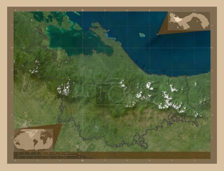
Ngobe Bugle, indigenous territory of Panama. High resolution satellite map. Corner auxiliary location maps

Önizleme filigranlıdır. Orijinal dosya lisans alındıktan sonra indirilir.

Açıklama

Ngobe Bugle, indigenous territory of Panama. High resolution satellite map. Corner auxiliary location maps

Benzer içerikler

Ngobe Bugle, indigenous territory of Panama. High resolution satellite map. Locations of major cities of the region. Co…
Yarr65 DP-637567294
Ngobe Bugle, indigenous territory of Panama. High resolution satellite map. Locations and names of major cities of the …
Yarr65 DP-637567300
Ngobe Bugle, indigenous territory of Panama. Low resolution satellite map. Corner auxiliary location maps
Yarr65 DP-637567298
Capiz, province of Philippines. Low resolution satellite map. Locations of major cities of the region. Corner auxiliary…
Yarr65 DP-637585182
Ngobe Bugle, indigenous territory of Panama. Low resolution satellite map. Locations of major cities of the region. Cor…
Yarr65 DP-637567304
Capiz, province of Philippines. Low resolution satellite map. Corner auxiliary location maps
Yarr65 DP-637585202
Ngobe Bugle, indigenous territory of Panama. Low resolution satellite map. Locations and names of major cities of the r…
Yarr65 DP-637567338
Ponce, municipality of Puerto Rico. Colored elevation map with lakes and rivers. Corner auxiliary location maps
Yarr65 DP-637604292
Gracias a Dios, Honduras Bölümü. Yükseklik haritası göller ve nehirlerle wiki tarzında renklendirilmiş. Köşedeki yedek …
Yarr65 DP-612141320
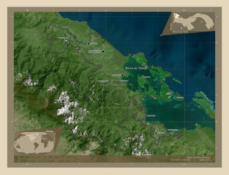
Bocas del Toro, province of Panama. High resolution satellite map. Locations and names of major cities of the region. C…
Yarr65 DP-637565446
Absheron, Azerbaycan bölgesi. Gölleri ve nehirleri olan renkli yükseklik haritası. Bölgenin büyük şehirlerinin yerleri.…
Yarr65 DP-606611376
Ngobe Bugle, indigenous territory of Panama. Colored elevation map with lakes and rivers. Locations of major cities of …
Yarr65 DP-637567342