İçeriğe geç

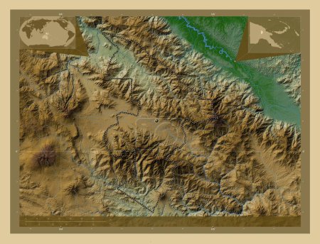
Enga, province of Papua New Guinea. Colored elevation map with lakes and rivers. Locations and names of major cities of…

Önizleme filigranlıdır. Orijinal dosya lisans alındıktan sonra indirilir.

Açıklama

Enga, province of Papua New Guinea. Colored elevation map with lakes and rivers. Locations and names of major cities of the region. Corner auxiliary location maps

Benzer içerikler

Enga, province of Papua New Guinea. Colored elevation map with lakes and rivers. Corner auxiliary location maps
Yarr65 DP-637569260
Enga, province of Papua New Guinea. Colored elevation map with lakes and rivers. Locations of major cities of the regio…
Yarr65 DP-637569250
Enga, province of Papua New Guinea. Elevation map colored in wiki style with lakes and rivers. Locations and names of m…
Yarr65 DP-637569374
Samtse, Butan bölgesi. Gölleri ve nehirleri olan renkli yükseklik haritası. Bölgenin büyük şehirlerinin yerleri ve isim…
Yarr65 DP-608872170
Mtskheta-Mtianeti, Gürcistan bölgesi. Gölleri ve nehirleri olan renkli yükseklik haritası. Bölgenin büyük şehirlerinin …
Yarr65 DP-612120692
Mtskheta-Mtianeti, Gürcistan bölgesi. Gölleri ve nehirleri olan renkli yükseklik haritası. Köşedeki yedek konum harital…
Yarr65 DP-612120734
Jiwaka, province of Papua New Guinea. Colored elevation map with lakes and rivers. Corner auxiliary location maps
Yarr65 DP-637569822
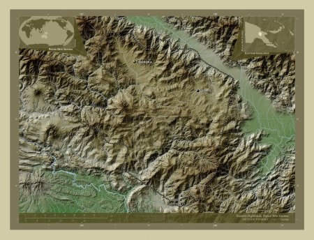
Eastern Highlands, province of Papua New Guinea. Colored elevation map with lakes and rivers. Locations and names of ma…
Yarr65 DP-637569016
Eastern Highlands, province of Papua New Guinea. Elevation map colored in wiki style with lakes and rivers. Locations a…
Yarr65 DP-637569094
Samtse, Butan bölgesi. Yükseklik haritası göller ve nehirlerle wiki tarzında renklendirilmiş. Bölgenin büyük şehirlerin…
Yarr65 DP-608872500
Mtskheta-Mtianeti, Gürcistan bölgesi. Gölleri ve nehirleri olan renkli yükseklik haritası. Bölgenin büyük şehirlerinin …
Yarr65 DP-612120704
Badakhshan, province of Afghanistan. Colored elevation map with lakes and rivers. Locations and names of major cities o…
Yarr65 DP-604335290