İçeriğe geç

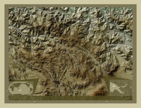
Enga, province of Papua New Guinea. Elevation map colored in wiki style with lakes and rivers. Corner auxiliary locatio…
Önizleme filigranlıdır. Orijinal dosya lisans alındıktan sonra indirilir.

Açıklama

Enga, province of Papua New Guinea. Elevation map colored in wiki style with lakes and rivers. Corner auxiliary location maps

Benzer içerikler

Enga, province of Papua New Guinea. Elevation map colored in wiki style with lakes and rivers. Locations of major citie…
Yarr65 DP-637569312
Enga, province of Papua New Guinea. Elevation map colored in wiki style with lakes and rivers. Locations and names of m…
Yarr65 DP-637569374
Enga, province of Papua New Guinea. Colored elevation map with lakes and rivers. Corner auxiliary location maps
Yarr65 DP-637569260
Enga, province of Papua New Guinea. Colored elevation map with lakes and rivers. Locations of major cities of the regio…
Yarr65 DP-637569250
Copan, Honduras Departmanı. Yükseklik haritası göller ve nehirlerle wiki tarzında renklendirilmiş. Köşedeki yedek konum…
Yarr65 DP-612140816
Copan, Honduras Departmanı. Yükseklik haritası göller ve nehirlerle wiki tarzında renklendirilmiş. Bölgenin büyük şehir…
Yarr65 DP-612140804
Apurimac, region of Peru. High resolution satellite map. Corner auxiliary location maps
Yarr65 DP-637577398
Caldas, Kolombiya Departmanı. Yükseklik haritası göller ve nehirlerle wiki tarzında renklendirilmiş. Bölgenin büyük şeh…
Yarr65 DP-611031464
Apurimac, region of Peru. High resolution satellite map. Locations of major cities of the region. Corner auxiliary loca…
Yarr65 DP-637577372
Caldas, Kolombiya Departmanı. Yükseklik haritası göller ve nehirlerle wiki tarzında renklendirilmiş. Köşedeki yedek kon…
Yarr65 DP-611031444
Kunar, province of Afghanistan. Elevation map colored in wiki style with lakes and rivers. Corner auxiliary location ma…
Yarr65 DP-604339518
Kunar, province of Afghanistan. Elevation map colored in wiki style with lakes and rivers. Locations of major cities of…
Yarr65 DP-604339504