İçeriğe geç

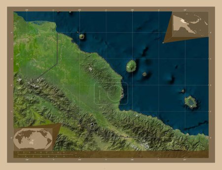
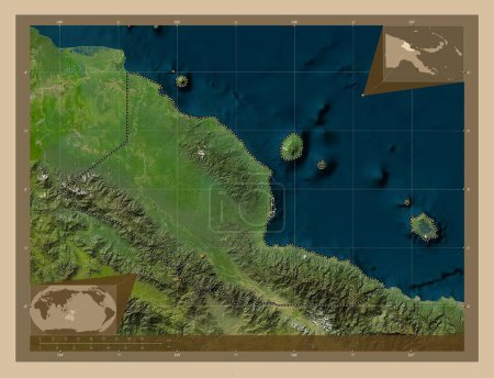
Madang, province of Papua New Guinea. High resolution satellite map. Corner auxiliary location maps

Önizleme filigranlıdır. Orijinal dosya lisans alındıktan sonra indirilir.

Açıklama

Madang, province of Papua New Guinea. High resolution satellite map. Corner auxiliary location maps

Benzer içerikler

Madang, province of Papua New Guinea. High resolution satellite map. Locations of major cities of the region. Corner au…
Yarr65 DP-637569872
Madang, province of Papua New Guinea. High resolution satellite map. Locations and names of major cities of the region.…
Yarr65 DP-637569898
Madang, province of Papua New Guinea. Low resolution satellite map. Locations and names of major cities of the region. …
Yarr65 DP-637569926
Madang, province of Papua New Guinea. Low resolution satellite map. Locations of major cities of the region. Corner aux…
Yarr65 DP-637569894
Madang, province of Papua New Guinea. Low resolution satellite map. Corner auxiliary location maps
Yarr65 DP-637569908
Madang, province of Papua New Guinea. Colored elevation map with lakes and rivers. Locations of major cities of the reg…
Yarr65 DP-637569942
Guantanamo, Küba ili. Gölleri ve nehirleri olan renkli yükseklik haritası. Köşedeki yedek konum haritaları
Yarr65 DP-613763254
Guantanamo, Küba ili. Gölleri ve nehirleri olan renkli yükseklik haritası. Bölgenin büyük şehirlerinin yerleri. Köşedek…
Yarr65 DP-613763252
Bougainville, autonomous region of Papua New Guinea. Low resolution satellite map. Corner auxiliary location maps
Yarr65 DP-637568004
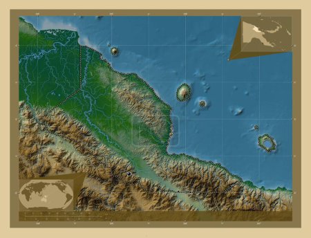
Madang, province of Papua New Guinea. Colored elevation map with lakes and rivers. Corner auxiliary location maps
Yarr65 DP-637569950
Cayenne, Fransız Guyanası 'nın çevresi. Düşük çözünürlüklü uydu. Köşedeki yedek konum haritaları
Yarr65 DP-612113950
Nusa Tenggara Timur, Endonezya ili. Düşük çözünürlüklü uydu. Köşedeki yedek konum haritaları
Yarr65 DP-614326074