İçeriğe geç

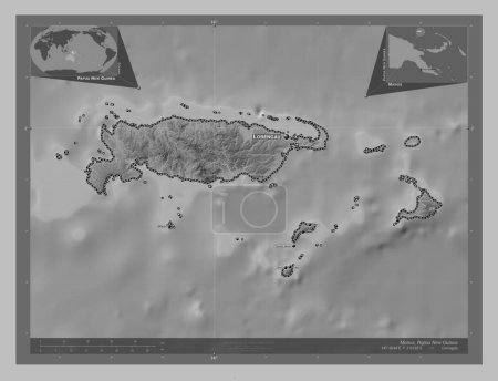
Manus, province of Papua New Guinea. Bilevel elevation map with lakes and rivers. Locations of major cities of the regi…

Önizleme filigranlıdır. Orijinal dosya lisans alındıktan sonra indirilir.

Açıklama

Manus, province of Papua New Guinea. Bilevel elevation map with lakes and rivers. Locations of major cities of the region. Corner auxiliary location maps

Benzer içerikler

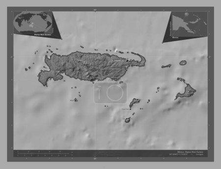
Manus, province of Papua New Guinea. Bilevel elevation map with lakes and rivers. Corner auxiliary location maps
Yarr65 DP-637569996
Manus, province of Papua New Guinea. Grayscale elevation map with lakes and rivers. Locations of major cities of the re…
Yarr65 DP-637570010
Manus, province of Papua New Guinea. Grayscale elevation map with lakes and rivers. Corner auxiliary location maps
Yarr65 DP-637570006
Manus, province of Papua New Guinea. Grayscale elevation map with lakes and rivers. Locations and names of major cities…
Yarr65 DP-637570018
Manus, province of Papua New Guinea. Bilevel elevation map with lakes and rivers. Locations and names of major cities o…
Yarr65 DP-637570008
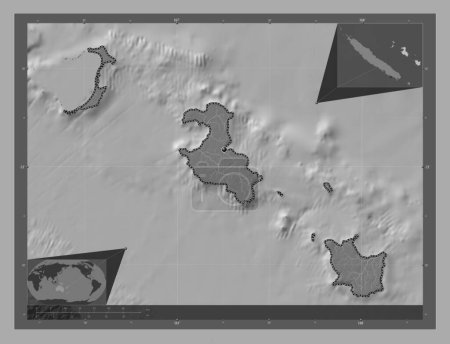
Iles Loyaute, Yeni Kaledonya vilayeti. Göllü ve nehirli çift katlı yükseklik haritası. Köşedeki yedek konum haritaları
Yarr65 DP-618895846
Iles Loyaute, Yeni Kaledonya vilayeti. Göllü ve nehirli çift katlı yükseklik haritası. Bölgenin büyük şehirlerinin yerl…
Yarr65 DP-618895824
West New Britain, province of Papua New Guinea. Grayscale elevation map with lakes and rivers. Corner auxiliary locatio…
Yarr65 DP-637571248
West New Britain, province of Papua New Guinea. Grayscale elevation map with lakes and rivers. Locations of major citie…
Yarr65 DP-637571234
Iles Loyaute, Yeni Kaledonya vilayeti. Gölleri ve nehirleri olan gri tonlama yükseklik haritası. Bölgenin büyük şehirle…
Yarr65 DP-618895866
Sulawesi Tenggara, Endonezya vilayeti. Göllü ve nehirli çift katlı yükseklik haritası. Bölgenin büyük şehirlerinin yerl…
Yarr65 DP-614327368
West New Britain, province of Papua New Guinea. Bilevel elevation map with lakes and rivers. Corner auxiliary location …
Yarr65 DP-637571240