İçeriğe geç

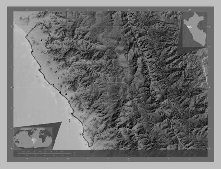
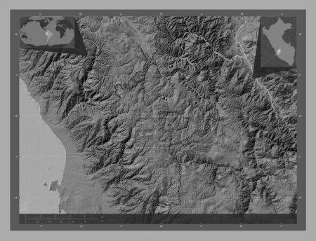
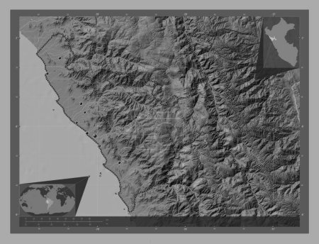
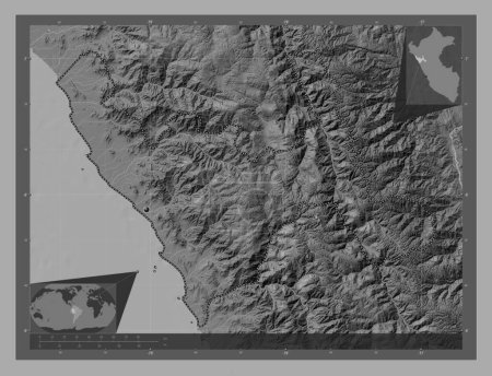
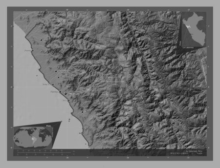
La Libertad, region of Peru. Bilevel elevation map with lakes and rivers. Corner auxiliary location maps
Önizleme filigranlıdır. Orijinal dosya lisans alındıktan sonra indirilir.

Açıklama

La Libertad, region of Peru. Bilevel elevation map with lakes and rivers. Corner auxiliary location maps

Benzer içerikler
La Libertad, region of Peru. Bilevel elevation map with lakes and rivers. Locations of major cities of the region. Corn…
Yarr65 DP-637579958
La Libertad, region of Peru. Bilevel elevation map with lakes and rivers. Locations and names of major cities of the re…
Yarr65 DP-637580014
La Libertad, region of Peru. Grayscale elevation map with lakes and rivers. Locations of major cities of the region. Co…
Yarr65 DP-637579982
La Libertad, region of Peru. Grayscale elevation map with lakes and rivers. Corner auxiliary location maps
Yarr65 DP-637580050
La Libertad, region of Peru. Grayscale elevation map with lakes and rivers. Locations and names of major cities of the …
Yarr65 DP-637579980
Huancavelica, region of Peru. Bilevel elevation map with lakes and rivers. Locations of major cities of the region. Cor…
Yarr65 DP-637578798
Huancavelica, region of Peru. Bilevel elevation map with lakes and rivers. Corner auxiliary location maps
Yarr65 DP-637578830
Utah, Amerika Birleşik Devletleri. Gölleri ve nehirleri olan gri tonlama yükseklik haritası. Köşedeki yedek konum harit…
Yarr65 DP-651268956
Ayacucho, region of Peru. Bilevel elevation map with lakes and rivers. Locations of major cities of the region. Corner …
Yarr65 DP-637577734
Ayacucho, region of Peru. Bilevel elevation map with lakes and rivers. Corner auxiliary location maps
Yarr65 DP-637577730
Lima Province, province of Peru. Bilevel elevation map with lakes and rivers. Locations and names of major cities of th…
Yarr65 DP-637580598
Ajaria, Gürcistan Özerk Cumhuriyeti. Gölleri ve nehirleri olan gri tonlama yükseklik haritası. Bölgenin büyük şehirleri…
Yarr65 DP-612119272