İçeriğe geç

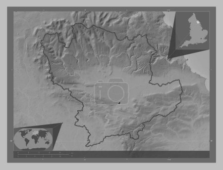
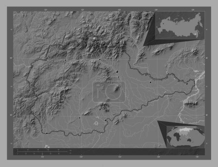
Capiz, province of Philippines. Grayscale elevation map with lakes and rivers. Corner auxiliary location maps

Önizleme filigranlıdır. Orijinal dosya lisans alındıktan sonra indirilir.

Açıklama

Capiz, province of Philippines. Grayscale elevation map with lakes and rivers. Corner auxiliary location maps

Benzer içerikler

Capiz, province of Philippines. Grayscale elevation map with lakes and rivers. Locations and names of major cities of t…
Yarr65 DP-637585160
Capiz, province of Philippines. Grayscale elevation map with lakes and rivers. Locations of major cities of the region.…
Yarr65 DP-637585156
Doğu Sussex, İngiltere idari bölgesi - Büyük Britanya. Gölleri ve nehirleri olan gri tonlama yükseklik haritası. Köşede…
Yarr65 DP-651463138
Essex, İngiltere idari bölgesi - Büyük Britanya. Gölleri ve nehirleri olan gri tonlama yükseklik haritası. Köşedeki yed…
Yarr65 DP-651465182
Ryedale, İngiltere 'nin metropolitan olmayan bölgesi, Büyük Britanya. Gölleri ve nehirleri olan gri tonlama yükseklik h…
Yarr65 DP-651549096
Jendouba, governorate of Tunisia. Bilevel elevation map with lakes and rivers. Corner auxiliary location maps
Yarr65 DP-642584142
Cumbria, İngiltere idari bölgesi - Büyük Britanya. Gölleri ve nehirleri olan gri tonlama yükseklik haritası. Bölgenin b…
Yarr65 DP-651445110
Ashanti, Gana bölgesi. Göllü ve nehirli çift katlı yükseklik haritası. Köşedeki yedek konum haritaları
Yarr65 DP-612124974
Yevrey, autonomous region of Russia. Bilevel elevation map with lakes and rivers. Locations of major cities of the regi…
Yarr65 DP-637897684
Jendouba, governorate of Tunisia. Bilevel elevation map with lakes and rivers. Locations of major cities of the region.…
Yarr65 DP-642584114
Ha Noi, 124ncü şehir, 124ncü belediye, Vietnam 'dan Thanh pho. Gölleri ve nehirleri olan gri tonlama yükseklik haritası…
Yarr65 DP-651080754
Jendouba, governorate of Tunisia. Grayscale elevation map with lakes and rivers. Locations and names of major cities of…
Yarr65 DP-642584172