İçeriğe geç

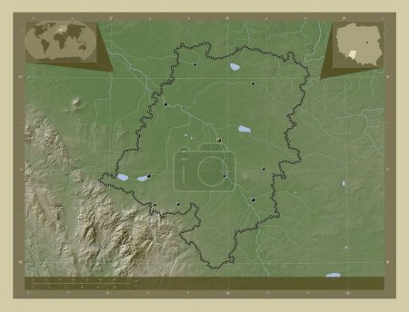
Slaskie, voivodeship|province of Poland. Elevation map colored in wiki style with lakes and rivers. Corner auxiliary lo…

Önizleme filigranlıdır. Orijinal dosya lisans alındıktan sonra indirilir.

Açıklama

Slaskie, voivodeship|province of Poland. Elevation map colored in wiki style with lakes and rivers. Corner auxiliary location maps

Benzer içerikler
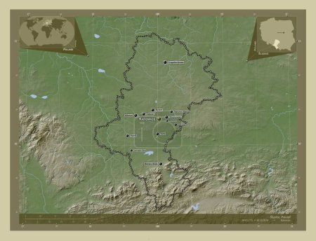
Slaskie, voivodeship|province of Poland. Elevation map colored in wiki style with lakes and rivers. Locations and names…
Yarr65 DP-637596180
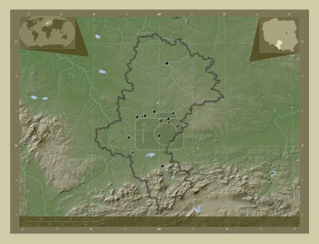
Slaskie, voivodeship|province of Poland. Elevation map colored in wiki style with lakes and rivers. Locations of major …
Yarr65 DP-637596166
Opolskie, voivodeship|province of Poland. Elevation map colored in wiki style with lakes and rivers. Locations of major…
Yarr65 DP-637595522
Opolskie, voivodeship|province of Poland. Elevation map colored in wiki style with lakes and rivers. Corner auxiliary l…
Yarr65 DP-637595528
Kraj Vysocina, Çek Cumhuriyeti bölgesi. Gölleri ve nehirleri olan renkli yükseklik haritası. Köşedeki yedek konum harit…
Yarr65 DP-611243392
Slaskie, voivodeship|province of Poland. Colored elevation map with lakes and rivers. Corner auxiliary location maps
Yarr65 DP-637596138
Thuringen, Almanya devleti. Yükseklik haritası göller ve nehirlerle wiki tarzında renklendirilmiş. Bölgenin büyük şehir…
Yarr65 DP-612124788
Qostanay, Kazakistan bölgesi. Yükseklik haritası göller ve nehirlerle wiki tarzında renklendirilmiş. Bölgenin büyük şeh…
Yarr65 DP-615214102
Limburg, Belçika vilayeti. Yükseklik haritası göller ve nehirlerle wiki tarzında renklendirilmiş. Bölgenin büyük şehirl…
Yarr65 DP-608851504
Ouham-Pende, Orta Afrika Cumhuriyeti vilayeti. Gölleri ve nehirleri olan renkli yükseklik haritası. Bölgenin büyük şehi…
Yarr65 DP-610515332
Qostanay, Kazakistan bölgesi. Yükseklik haritası göller ve nehirlerle wiki tarzında renklendirilmiş. Köşedeki yedek kon…
Yarr65 DP-615214118
Kralovehradecky, Çek Cumhuriyeti bölgesi. Yükseklik haritası göller ve nehirlerle wiki tarzında renklendirilmiş. Bölgen…
Yarr65 DP-611245626