İçeriğe geç

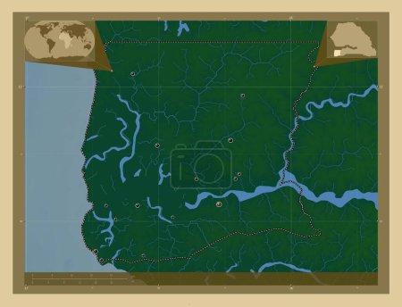
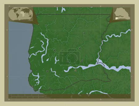
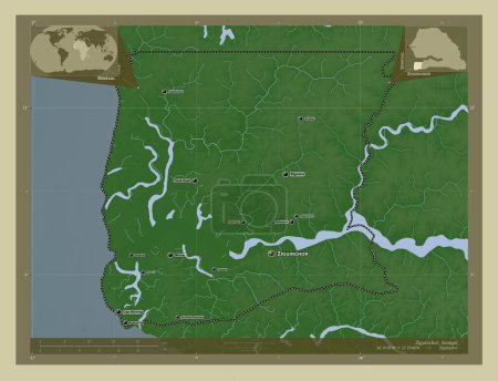
Ziguinchor, region of Senegal. Elevation map colored in wiki style with lakes and rivers. Locations and names of major …
Önizleme filigranlıdır. Orijinal dosya lisans alındıktan sonra indirilir.

Açıklama

Ziguinchor, region of Senegal. Elevation map colored in wiki style with lakes and rivers. Locations and names of major cities of the region. Corner auxiliary location maps

Benzer içerikler

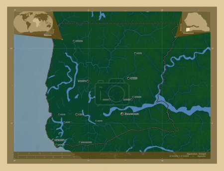
Ziguinchor, region of Senegal. Colored elevation map with lakes and rivers. Locations and names of major cities of the …
Yarr65 DP-642200362
Ziguinchor, region of Senegal. Elevation map colored in wiki style with lakes and rivers. Corner auxiliary location maps
Yarr65 DP-642200520
Ziguinchor, region of Senegal. Colored elevation map with lakes and rivers. Locations of major cities of the region. Co…
Yarr65 DP-642200302
Coronie, district of Suriname. Elevation map colored in wiki style with lakes and rivers. Locations and names of major …
Yarr65 DP-642343044
Lancashire, İngiltere idari kontluğu - Büyük Britanya. Gölleri ve nehirleri olan renkli yükseklik haritası. Bölgenin bü…
Yarr65 DP-651522422
Ziguinchor, region of Senegal. Elevation map colored in wiki style with lakes and rivers. Locations of major cities of …
Yarr65 DP-642200438
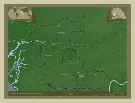
Kaolack, region of Senegal. Elevation map colored in wiki style with lakes and rivers. Locations and names of major cit…
Yarr65 DP-642196248
Aşağı Nehir, Gambiya Bölümü. Yükseklik haritası göller ve nehirlerle wiki tarzında renklendirilmiş. Bölgenin büyük şehi…
Yarr65 DP-612118472
Utrecht, Hollanda vilayeti. Yükseklik haritası göller ve nehirlerle wiki tarzında renklendirilmiş. Bölgenin büyük şehir…
Yarr65 DP-618895190
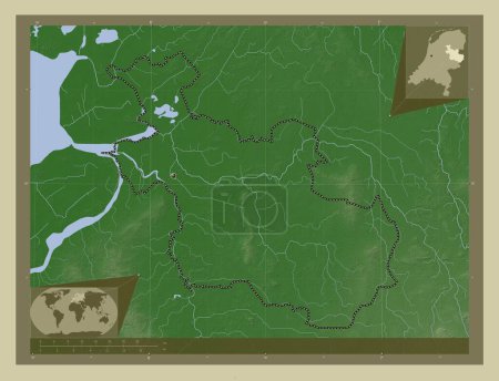
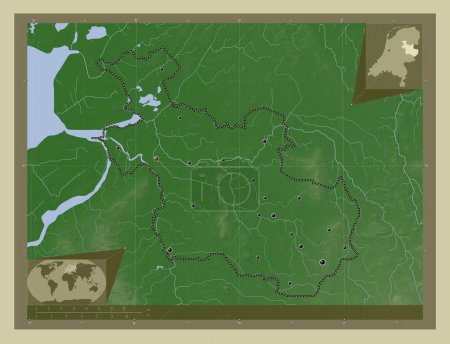
Overijssel, Hollanda vilayeti. Yükseklik haritası göller ve nehirlerle wiki tarzında renklendirilmiş. Köşedeki yedek ko…
Yarr65 DP-618894852
Overijssel, Hollanda vilayeti. Yükseklik haritası göller ve nehirlerle wiki tarzında renklendirilmiş. Bölgenin büyük şe…
Yarr65 DP-618894760
Ziguinchor, region of Senegal. Colored elevation map with lakes and rivers. Corner auxiliary location maps
Yarr65 DP-642200356