İçeriğe geç

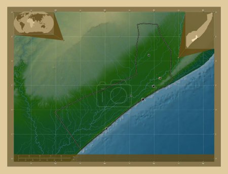
Gedo, region of Somalia Mainland. Colored elevation map with lakes and rivers. Corner auxiliary location maps

Önizleme filigranlıdır. Orijinal dosya lisans alındıktan sonra indirilir.

Açıklama

Gedo, region of Somalia Mainland. Colored elevation map with lakes and rivers. Corner auxiliary location maps

Benzer içerikler
Gedo, region of Somalia Mainland. Colored elevation map with lakes and rivers. Locations of major cities of the region.…
Yarr65 DP-642240234
Gedo, region of Somalia. Colored elevation map with lakes and rivers. Corner auxiliary location maps
Yarr65 DP-642234166
Gedo, region of Somalia Mainland. Colored elevation map with lakes and rivers. Locations and names of major cities of t…
Yarr65 DP-642240302
Gedo, region of Somalia. Colored elevation map with lakes and rivers. Locations and names of major cities of the region…
Yarr65 DP-642234142
Gedo, region of Somalia. Colored elevation map with lakes and rivers. Locations of major cities of the region. Corner a…
Yarr65 DP-642234092
Al-Muthannia, Irak vilayeti. Yükseklik haritası göller ve nehirlerle wiki tarzında renklendirilmiş. Köşedeki yedek konu…
Yarr65 DP-614341770
Al-Muthannia, Irak vilayeti. Yükseklik haritası göller ve nehirlerle wiki tarzında renklendirilmiş. Bölgenin büyük şehi…
Yarr65 DP-614341774
Nugaal, region of Somalia Mainland. Colored elevation map with lakes and rivers. Locations of major cities of the regio…
Yarr65 DP-642242774
Mafraq, Ürdün vilayeti. Gölleri ve nehirleri olan renkli yükseklik haritası. Bölgenin büyük şehirlerinin yerleri. Köşed…
Yarr65 DP-614907370
Nalut, Libya bölgesi. Gölleri ve nehirleri olan renkli yükseklik haritası. Bölgenin büyük şehirlerinin yerleri ve isiml…
Yarr65 DP-616367302
Shabeellaha Hoose, region of Somalia Mainland. Elevation map colored in wiki style with lakes and rivers. Corner auxili…
Yarr65 DP-642241874
Shabeellaha Hoose, region of Somalia Mainland. Colored elevation map with lakes and rivers. Locations of major cities o…
Yarr65 DP-642241640