İçeriğe geç

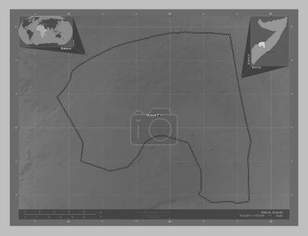
Hiiraan, region of Somalia Mainland. Grayscale elevation map with lakes and rivers. Corner auxiliary location maps

Önizleme filigranlıdır. Orijinal dosya lisans alındıktan sonra indirilir.

Açıklama

Hiiraan, region of Somalia Mainland. Grayscale elevation map with lakes and rivers. Corner auxiliary location maps

Benzer içerikler

Hiiraan, region of Somalia Mainland. Grayscale elevation map with lakes and rivers. Locations of major cities of the re…
Yarr65 DP-642240398
Hiiraan, region of Somalia. Grayscale elevation map with lakes and rivers. Corner auxiliary location maps
Yarr65 DP-642234312
Hiiraan, region of Somalia. Grayscale elevation map with lakes and rivers. Locations of major cities of the region. Cor…
Yarr65 DP-642234282
Gedo, region of Somalia. Grayscale elevation map with lakes and rivers. Locations of major cities of the region. Corner…
Yarr65 DP-642233838
Bakool, region of Somalia. Bilevel elevation map with lakes and rivers. Locations of major cities of the region. Corner…
Yarr65 DP-642231742
Bakool, region of Somalia. Bilevel elevation map with lakes and rivers. Corner auxiliary location maps
Yarr65 DP-642231738
Galgaduud, region of Somalia. Grayscale elevation map with lakes and rivers. Locations of major cities of the region. C…
Yarr65 DP-642233282
Bakool, region of Somalia Mainland. Grayscale elevation map with lakes and rivers. Locations and names of major cities …
Yarr65 DP-642238028
Dornogovi, Moğolistan vilayeti. Gölleri ve nehirleri olan gri tonlama yükseklik haritası. Köşedeki yedek konum haritala…
Yarr65 DP-618577006
Dornogovi, Moğolistan vilayeti. Gölleri ve nehirleri olan gri tonlama yükseklik haritası. Bölgenin büyük şehirlerinin y…
Yarr65 DP-618576838
Gedo, region of Somalia. Grayscale elevation map with lakes and rivers. Corner auxiliary location maps
Yarr65 DP-642233836
Bakool, region of Somalia. Grayscale elevation map with lakes and rivers. Locations and names of major cities of the re…
Yarr65 DP-642231736