İçeriğe geç

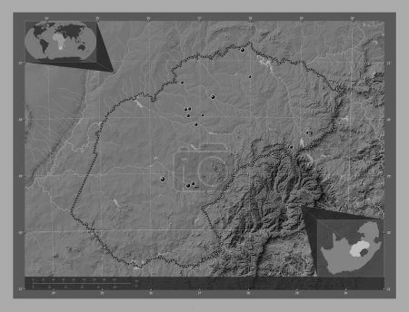
Free State, province of South Africa. Grayscale elevation map with lakes and rivers. Corner auxiliary location maps

Önizleme filigranlıdır. Orijinal dosya lisans alındıktan sonra indirilir.

Açıklama

Free State, province of South Africa. Grayscale elevation map with lakes and rivers. Corner auxiliary location maps

Benzer içerikler
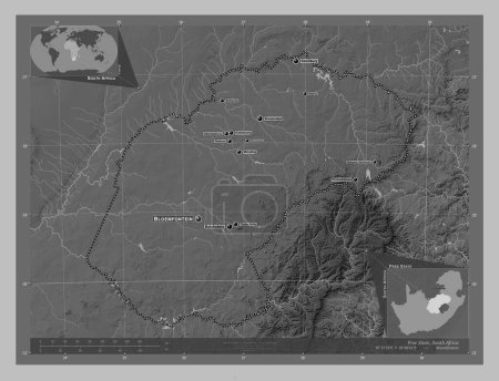
Free State, province of South Africa. Grayscale elevation map with lakes and rivers. Locations of major cities of the r…
Yarr65 DP-642248150
Free State, province of South Africa. Grayscale elevation map with lakes and rivers. Locations and names of major citie…
Yarr65 DP-642248254
Free State, province of South Africa. Bilevel elevation map with lakes and rivers. Locations of major cities of the reg…
Yarr65 DP-642248086
Central Equatoria, state of South Sudan. Grayscale elevation map with lakes and rivers. Locations and names of major ci…
Yarr65 DP-642261234
Free State, province of South Africa. Bilevel elevation map with lakes and rivers. Locations and names of major cities …
Yarr65 DP-642248144
Ituri, Demokratik Kongo Cumhuriyeti eyaleti. Gölleri ve nehirleri olan gri tonlama yükseklik haritası. Bölgenin büyük ş…
Yarr65 DP-611108126
Free State, province of South Africa. Bilevel elevation map with lakes and rivers. Corner auxiliary location maps
Yarr65 DP-642248188
Bamingui-Bangoran, Orta Afrika Cumhuriyeti ili. Gölleri ve nehirleri olan gri tonlama yükseklik haritası. Bölgenin büyü…
Yarr65 DP-610507602
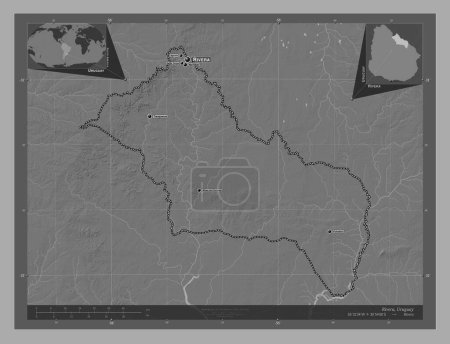
Rivera, Uruguay Departmanı. Göllü ve nehirli çift katlı yükseklik haritası. Bölgenin büyük şehirlerinin yerleri ve isim…
Yarr65 DP-651222402
Lomami, Demokratik Kongo Cumhuriyeti eyaleti. Gölleri ve nehirleri olan gri tonlama yükseklik haritası. Köşedeki yedek …
Yarr65 DP-611123192
Upper Nile, state of South Sudan. Grayscale elevation map with lakes and rivers. Locations and names of major cities of…
Yarr65 DP-642263652
Free State, province of South Africa. Elevation map colored in wiki style with lakes and rivers. Corner auxiliary locat…
Yarr65 DP-642249052