İçeriğe geç

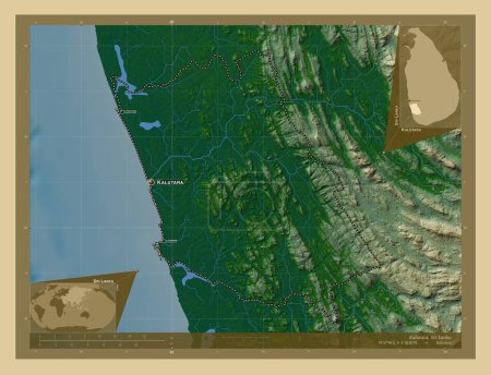
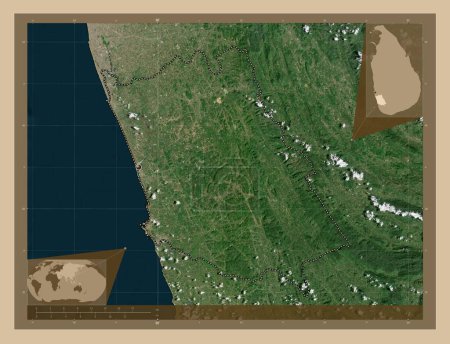
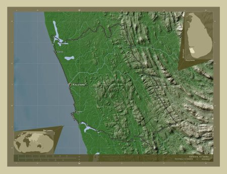
Kalutara, district of Sri Lanka. Elevation map colored in wiki style with lakes and rivers. Locations and names of majo…
Önizleme filigranlıdır. Orijinal dosya lisans alındıktan sonra indirilir.

Açıklama

Kalutara, district of Sri Lanka. Elevation map colored in wiki style with lakes and rivers. Locations and names of major cities of the region. Corner auxiliary location maps

Benzer içerikler

Kalutara, district of Sri Lanka. Elevation map colored in wiki style with lakes and rivers. Locations of major cities o…
Yarr65 DP-642329480
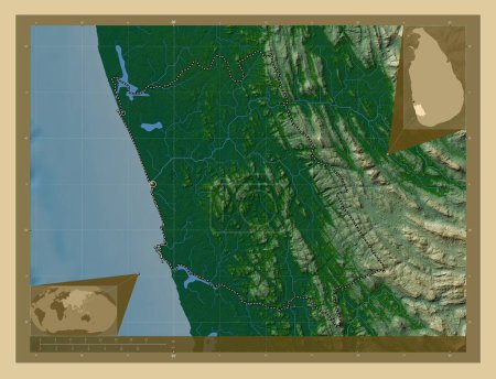
Kalutara, district of Sri Lanka. Elevation map colored in wiki style with lakes and rivers. Corner auxiliary location m…
Yarr65 DP-642329538
Kalutara, district of Sri Lanka. Colored elevation map with lakes and rivers. Locations and names of major cities of th…
Yarr65 DP-642329468
Kalutara, district of Sri Lanka. Colored elevation map with lakes and rivers. Corner auxiliary location maps
Yarr65 DP-642329416
Kalutara, district of Sri Lanka. Colored elevation map with lakes and rivers. Locations of major cities of the region. …
Yarr65 DP-642329458
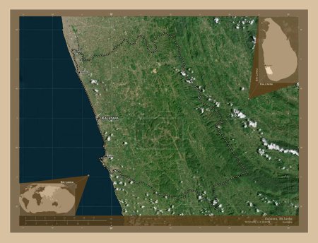
Kalutara, district of Sri Lanka. Low resolution satellite map. Locations and names of major cities of the region. Corne…
Yarr65 DP-642329404
Gampaha, district of Sri Lanka. Elevation map colored in wiki style with lakes and rivers. Corner auxiliary location ma…
Yarr65 DP-642328820
Goa, Hindistan eyaleti. Yükseklik haritası göller ve nehirlerle wiki tarzında renklendirilmiş. Bölgenin büyük şehirleri…
Yarr65 DP-614310236
Kalutara, district of Sri Lanka. Low resolution satellite map. Locations of major cities of the region. Corner auxiliar…
Yarr65 DP-642329378
Karnataka, Hindistan Eyaleti. Yükseklik haritası göller ve nehirlerle wiki tarzında renklendirilmiş. Bölgenin büyük şeh…
Yarr65 DP-614311770
Goa, Hindistan eyaleti. Yükseklik haritası göller ve nehirlerle wiki tarzında renklendirilmiş. Köşedeki yedek konum har…
Yarr65 DP-614310288
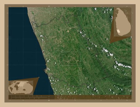
Kalutara, district of Sri Lanka. Low resolution satellite map. Corner auxiliary location maps
Yarr65 DP-642329394