İçeriğe geç

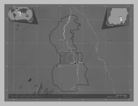
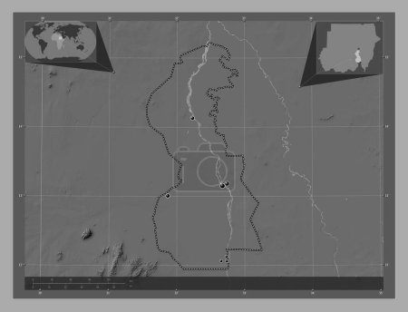
Al Jazirah, state of Sudan. Bilevel elevation map with lakes and rivers. Corner auxiliary location maps

Önizleme filigranlıdır. Orijinal dosya lisans alındıktan sonra indirilir.

Açıklama

Al Jazirah, state of Sudan. Bilevel elevation map with lakes and rivers. Corner auxiliary location maps

Benzer içerikler

Al Jazirah, state of Sudan. Bilevel elevation map with lakes and rivers. Locations of major cities of the region. Corne…
Yarr65 DP-642337152
Al Jazirah, state of Sudan. Grayscale elevation map with lakes and rivers. Locations of major cities of the region. Cor…
Yarr65 DP-642337164
Al Jazirah, state of Sudan. Grayscale elevation map with lakes and rivers. Corner auxiliary location maps
Yarr65 DP-642337214
White Nile, state of Sudan. Grayscale elevation map with lakes and rivers. Corner auxiliary location maps
Yarr65 DP-642341958
White Nile, state of Sudan. Grayscale elevation map with lakes and rivers. Locations of major cities of the region. Cor…
Yarr65 DP-642341906
White Nile, state of Sudan. Grayscale elevation map with lakes and rivers. Locations and names of major cities of the r…
Yarr65 DP-642341948
Khartoum, state of Sudan. Grayscale elevation map with lakes and rivers. Corner auxiliary location maps
Yarr65 DP-642339252
Tahoua, Nijer Bölümü. Gölleri ve nehirleri olan gri tonlama yükseklik haritası. Köşedeki yedek konum haritaları
Yarr65 DP-618903032
Sennar, state of Sudan. Grayscale elevation map with lakes and rivers. Locations and names of major cities of the regio…
Yarr65 DP-642340816
Tahoua, Nijer Bölümü. Gölleri ve nehirleri olan gri tonlama yükseklik haritası. Bölgenin büyük şehirlerinin yerleri. Kö…
Yarr65 DP-618903022
White Nile, state of Sudan. Bilevel elevation map with lakes and rivers. Locations of major cities of the region. Corne…
Yarr65 DP-642341914
Al-Qadisiyah, Irak vilayeti. Göllü ve nehirli çift katlı yükseklik haritası. Bölgenin büyük şehirlerinin yerleri. Köşed…
Yarr65 DP-614341764