İçeriğe geç

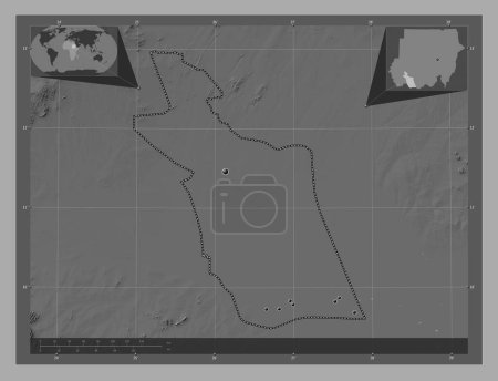
Al Qadarif, state of Sudan. Bilevel elevation map with lakes and rivers. Corner auxiliary location maps

Önizleme filigranlıdır. Orijinal dosya lisans alındıktan sonra indirilir.

Açıklama

Al Qadarif, state of Sudan. Bilevel elevation map with lakes and rivers. Corner auxiliary location maps

Benzer içerikler

Al Qadarif, state of Sudan. Bilevel elevation map with lakes and rivers. Locations of major cities of the region. Corne…
Yarr65 DP-642337610
Al Qadarif, state of Sudan. Bilevel elevation map with lakes and rivers. Locations and names of major cities of the reg…
Yarr65 DP-642337570
Al Qadarif, state of Sudan. Grayscale elevation map with lakes and rivers. Corner auxiliary location maps
Yarr65 DP-642337694
Al Qadarif, state of Sudan. Grayscale elevation map with lakes and rivers. Locations of major cities of the region. Cor…
Yarr65 DP-642337608
Al Qadarif, state of Sudan. Grayscale elevation map with lakes and rivers. Locations and names of major cities of the r…
Yarr65 DP-642337596
East Darfur, state of Sudan. Bilevel elevation map with lakes and rivers. Corner auxiliary location maps
Yarr65 DP-642338656
East Darfur, state of Sudan. Bilevel elevation map with lakes and rivers. Locations of major cities of the region. Corn…
Yarr65 DP-642338592
Dayr Az Zawr, province of Syria. Grayscale elevation map with lakes and rivers. Corner auxiliary location maps
Yarr65 DP-642369326
Armavir, Ermenistan vilayeti. Gölleri ve nehirleri olan gri tonlama yükseklik haritası. Köşedeki yedek konum haritaları
Yarr65 DP-606607472
Illizi, Cezayir vilayeti. Göllü ve nehirli çift katlı yükseklik haritası. Bölgenin büyük şehirlerinin yerleri. Köşedeki…
Yarr65 DP-606592004
Illizi, Cezayir vilayeti. Göllü ve nehirli çift katlı yükseklik haritası. Köşedeki yedek konum haritaları
Yarr65 DP-606592032
Matrouh, Mısır Valisi. Göllü ve nehirli çift katlı yükseklik haritası. Bölgenin büyük şehirlerinin yerleri. Köşedeki ye…
Yarr65 DP-612098956