İçeriğe geç

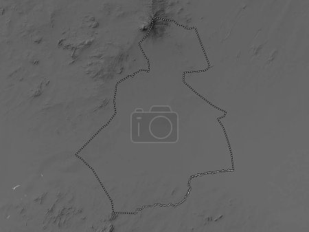
Central Darfur, state of Sudan. Bilevel elevation map with lakes and rivers

Önizleme filigranlıdır. Orijinal dosya lisans alındıktan sonra indirilir.

Açıklama

Central Darfur, state of Sudan. Bilevel elevation map with lakes and rivers

Benzer içerikler
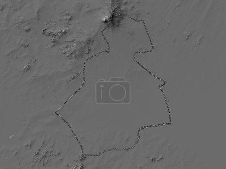
Central Darfur, state of Sudan. Grayscale elevation map with lakes and rivers
Yarr65 DP-642338310
South Darfur, state of Sudan. Bilevel elevation map with lakes and rivers
Yarr65 DP-642340930
West Darfur, state of Sudan. Grayscale elevation map with lakes and rivers
Yarr65 DP-642341494
West Darfur, state of Sudan. Bilevel elevation map with lakes and rivers
Yarr65 DP-642341502
South Darfur, state of Sudan. Grayscale elevation map with lakes and rivers
Yarr65 DP-642340966
Blue Nile, state of Sudan. Bilevel elevation map with lakes and rivers
Yarr65 DP-642337984
Krong Pailin, Kamboçya belediyesi. Gölleri ve nehirleri olan çift seviyeli yükseklik haritası
Yarr65 DP-610528516
Meksika Federal Bölgesi, Federal Bölgesi. Gölleri ve nehirleri olan gri tonlu bir harita. Ülke alanına göre şekillendir…
Yarr65 DP-385709666
As Suwayda', province of Syria. Grayscale elevation map with lakes and rivers
Yarr65 DP-642368428
Batı Pokot, Kenya ilçesi. Gölleri ve nehirleri olan gri tonlu bir harita. Ülke alanına göre şekillendirilmiş. 3B görünt…
Yarr65 DP-385703626
Batı Pokot, Kenya ilçesi. Gölleri ve nehirleri olan gri tonlu bir harita. Ülke alanına göre şekillendirilmiş. 3B görünt…
Yarr65 DP-385151262
Mandera, Kenya ilçesi. Gölleri ve nehirleri olan gri tonlu bir harita. Ülke alanına göre şekillendirilmiş. 3B görüntüle…
Yarr65 DP-385612078