İçeriğe geç

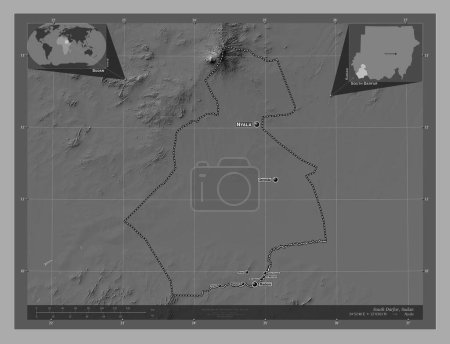
East Darfur, state of Sudan. Grayscale elevation map with lakes and rivers. Locations and names of major cities of the …

Önizleme filigranlıdır. Orijinal dosya lisans alındıktan sonra indirilir.

Açıklama

East Darfur, state of Sudan. Grayscale elevation map with lakes and rivers. Locations and names of major cities of the region. Corner auxiliary location maps

Benzer içerikler
East Darfur, state of Sudan. Bilevel elevation map with lakes and rivers. Locations and names of major cities of the re…
Yarr65 DP-642338646
South Darfur, state of Sudan. Grayscale elevation map with lakes and rivers. Locations and names of major cities of the…
Yarr65 DP-642341014
West Kurdufan, state of Sudan. Grayscale elevation map with lakes and rivers. Locations and names of major cities of th…
Yarr65 DP-642341722
Maroodi Jeex, region of Somalia. Grayscale elevation map with lakes and rivers. Locations and names of major cities of …
Yarr65 DP-642235258
Hiiraan, region of Somalia. Grayscale elevation map with lakes and rivers. Locations and names of major cities of the r…
Yarr65 DP-642234304
South Darfur, state of Sudan. Bilevel elevation map with lakes and rivers. Locations and names of major cities of the r…
Yarr65 DP-642341000
East Darfur, state of Sudan. Bilevel elevation map with lakes and rivers. Corner auxiliary location maps
Yarr65 DP-642338656
Timbuktu, Mali bölgesi. Gölleri ve nehirleri olan gri tonlama yükseklik haritası. Bölgenin büyük şehirlerinin yerleri v…
Yarr65 DP-618508444
Kassala, state of Sudan. Grayscale elevation map with lakes and rivers. Locations and names of major cities of the regi…
Yarr65 DP-642338952
White Nile, state of Sudan. Bilevel elevation map with lakes and rivers. Locations and names of major cities of the reg…
Yarr65 DP-642341910
Bay, region of Somalia. Grayscale elevation map with lakes and rivers. Locations and names of major cities of the regio…
Yarr65 DP-642232802
Atlantique, Benin Departmanı. Gölleri ve nehirleri olan gri tonlama yükseklik haritası. Bölgenin büyük şehirlerinin yer…
Yarr65 DP-608858470