İçeriğe geç

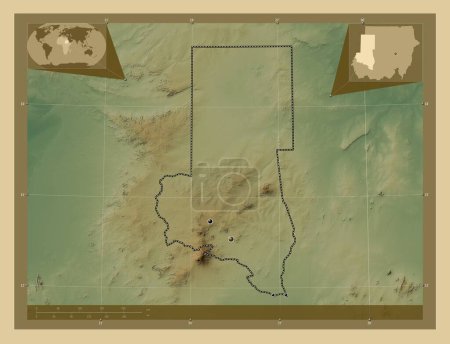
North Kurdufan, state of Sudan. Colored elevation map with lakes and rivers. Locations of major cities of the region. C…

Önizleme filigranlıdır. Orijinal dosya lisans alındıktan sonra indirilir.

Açıklama

North Kurdufan, state of Sudan. Colored elevation map with lakes and rivers. Locations of major cities of the region. Corner auxiliary location maps

Benzer içerikler

North Kurdufan, state of Sudan. Colored elevation map with lakes and rivers. Corner auxiliary location maps
Yarr65 DP-642339982
North Kurdufan, state of Sudan. Elevation map colored in wiki style with lakes and rivers. Locations of major cities of…
Yarr65 DP-642340004
North Kurdufan, state of Sudan. Elevation map colored in wiki style with lakes and rivers. Corner auxiliary location ma…
Yarr65 DP-642340066
North Kurdufan, state of Sudan. Colored elevation map with lakes and rivers. Locations and names of major cities of the…
Yarr65 DP-642339994
North Kurdufan, state of Sudan. Elevation map colored in wiki style with lakes and rivers. Locations and names of major…
Yarr65 DP-642340028
North Kurdufan, state of Sudan. Low resolution satellite map. Locations of major cities of the region. Corner auxiliary…
Yarr65 DP-642339934
Zhambyl, Kazakistan bölgesi. Gölleri ve nehirleri olan renkli yükseklik haritası. Bölgenin büyük şehirlerinin yerleri. …
Yarr65 DP-615233344
Oshikoto, Namibya bölgesi. Gölleri ve nehirleri olan renkli yükseklik haritası. Bölgenin büyük şehirlerinin yerleri. Kö…
Yarr65 DP-618890268
North Darfur, state of Sudan. Colored elevation map with lakes and rivers. Locations of major cities of the region. Cor…
Yarr65 DP-642339710
Oshikoto, Namibya bölgesi. Gölleri ve nehirleri olan renkli yükseklik haritası. Bölgenin büyük şehirlerinin yerleri ve …
Yarr65 DP-618890282
North Darfur, state of Sudan. Colored elevation map with lakes and rivers. Corner auxiliary location maps
Yarr65 DP-642339684
Oshikoto, Namibya bölgesi. Gölleri ve nehirleri olan renkli yükseklik haritası. Köşedeki yedek konum haritaları
Yarr65 DP-618890320