İçeriğe geç

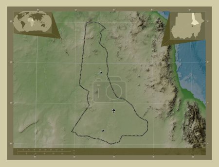
River Nile, state of Sudan. Colored elevation map with lakes and rivers. Locations of major cities of the region. Corne…

Önizleme filigranlıdır. Orijinal dosya lisans alındıktan sonra indirilir.

Açıklama

River Nile, state of Sudan. Colored elevation map with lakes and rivers. Locations of major cities of the region. Corner auxiliary location maps

Benzer içerikler

River Nile, state of Sudan. Colored elevation map with lakes and rivers. Corner auxiliary location maps
Yarr65 DP-642340694
River Nile, state of Sudan. Colored elevation map with lakes and rivers. Locations and names of major cities of the reg…
Yarr65 DP-642340698
River Nile, state of Sudan. Elevation map colored in wiki style with lakes and rivers. Corner auxiliary location maps
Yarr65 DP-642340788
River Nile, state of Sudan. Elevation map colored in wiki style with lakes and rivers. Locations of major cities of the…
Yarr65 DP-642340758
Al Hasakah, province of Syria. Colored elevation map with lakes and rivers. Locations of major cities of the region. Co…
Yarr65 DP-642367400
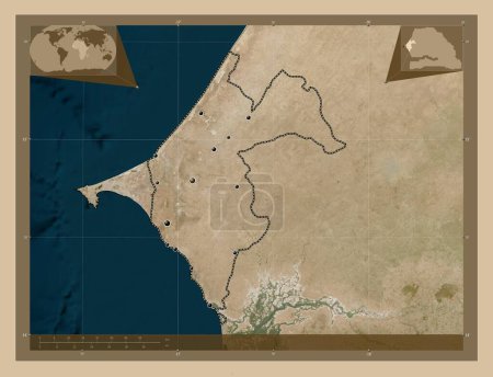
Thies, region of Senegal. Low resolution satellite map. Locations of major cities of the region. Corner auxiliary locat…
Yarr65 DP-642199386
Al Minya, Mısır Valisi. Gölleri ve nehirleri olan renkli yükseklik haritası. Bölgenin büyük şehirlerinin yerleri. Köşed…
Yarr65 DP-612097252
Kassala, state of Sudan. Colored elevation map with lakes and rivers. Corner auxiliary location maps
Yarr65 DP-642339138
Sanaag, region of Somalia. Colored elevation map with lakes and rivers. Locations of major cities of the region. Corner…
Yarr65 DP-642236930
Kassala, state of Sudan. Colored elevation map with lakes and rivers. Locations of major cities of the region. Corner a…
Yarr65 DP-642339150
Al Jabal al Gharbi, Libya bölgesi. Düşük çözünürlüklü uydu. Bölgenin büyük şehirlerinin yerleri ve isimleri. Köşedeki y…
Yarr65 DP-616364918
Al Jabal al Akhdar, Libya bölgesi. Gölleri ve nehirleri olan renkli yükseklik haritası. Bölgenin büyük şehirlerinin yer…
Yarr65 DP-616364802