İçeriğe geç

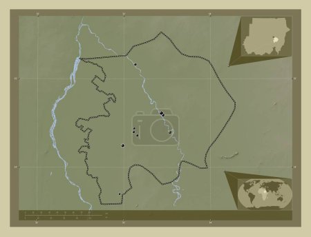
Sennar, state of Sudan. Colored elevation map with lakes and rivers. Locations and names of major cities of the region.…

Önizleme filigranlıdır. Orijinal dosya lisans alındıktan sonra indirilir.

Açıklama

Sennar, state of Sudan. Colored elevation map with lakes and rivers. Locations and names of major cities of the region. Corner auxiliary location maps

Benzer içerikler

Sennar, state of Sudan. Colored elevation map with lakes and rivers. Corner auxiliary location maps
Yarr65 DP-642340896
Sennar, state of Sudan. Colored elevation map with lakes and rivers. Locations of major cities of the region. Corner au…
Yarr65 DP-642340860
Sennar, state of Sudan. Elevation map colored in wiki style with lakes and rivers. Locations and names of major cities …
Yarr65 DP-642340916
Sennar, state of Sudan. Elevation map colored in wiki style with lakes and rivers. Locations of major cities of the reg…
Yarr65 DP-642340906
Sennar, state of Sudan. Elevation map colored in wiki style with lakes and rivers. Corner auxiliary location maps
Yarr65 DP-642340944
White Nile, state of Sudan. Colored elevation map with lakes and rivers. Corner auxiliary location maps
Yarr65 DP-642342062
South Kurdufan, state of Sudan. Colored elevation map with lakes and rivers. Corner auxiliary location maps
Yarr65 DP-642341392
Al Jazirah, state of Sudan. Elevation map colored in wiki style with lakes and rivers. Locations of major cities of the…
Yarr65 DP-642337510
Bakool, region of Somalia Mainland. Elevation map colored in sepia tones with lakes and rivers. Corner auxiliary locati…
Yarr65 DP-642238424
Bakool, region of Somalia Mainland. Elevation map colored in sepia tones with lakes and rivers. Locations of major citi…
Yarr65 DP-642238332
Mandoul, Chad bölgesi. Yükseklik haritası sepya tonlarında göller ve nehirlerle renklendirilmiş. Bölgenin büyük şehirle…
Yarr65 DP-610599558
White Nile, state of Sudan. Colored elevation map with lakes and rivers. Locations of major cities of the region. Corne…
Yarr65 DP-642342026