İçeriğe geç

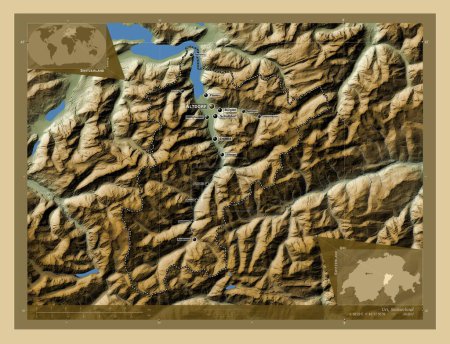
Uri, canton of Switzerland. Colored elevation map with lakes and rivers. Locations of major cities of the region. Corne…

Önizleme filigranlıdır. Orijinal dosya lisans alındıktan sonra indirilir.

Açıklama

Uri, canton of Switzerland. Colored elevation map with lakes and rivers. Locations of major cities of the region. Corner auxiliary location maps

Benzer içerikler
Uri, canton of Switzerland. Colored elevation map with lakes and rivers. Corner auxiliary location maps
Yarr65 DP-642364726
Uri, canton of Switzerland. Colored elevation map with lakes and rivers. Locations and names of major cities of the reg…
Yarr65 DP-642364680
Obwalden, canton of Switzerland. High resolution satellite map. Corner auxiliary location maps
Yarr65 DP-642361182
Trashigang, Butan bölgesi. Gölleri ve nehirleri olan renkli yükseklik haritası. Köşedeki yedek konum haritaları
Yarr65 DP-608874812
Trashigang, Butan bölgesi. Gölleri ve nehirleri olan renkli yükseklik haritası. Bölgenin büyük şehirlerinin yerleri. Kö…
Yarr65 DP-608874802
Aileu, Doğu Timor belediyesi. Yükseklik haritası sepya tonlarında göller ve nehirlerle renklendirilmiş. Bölgenin büyük …
Yarr65 DP-612087492
Aileu, Doğu Timor belediyesi. Yükseklik haritası sepya tonlarında göller ve nehirlerle renklendirilmiş. Köşedeki yedek …
Yarr65 DP-612087488
Obwalden, canton of Switzerland. High resolution satellite map. Locations and names of major cities of the region. Corn…
Yarr65 DP-642361124
Glarus, canton of Switzerland. Colored elevation map with lakes and rivers. Locations and names of major cities of the …
Yarr65 DP-642358358
Glarus, canton of Switzerland. Colored elevation map with lakes and rivers. Corner auxiliary location maps
Yarr65 DP-642358428
Haa, Bhutan bölgesi. Gölleri ve nehirleri olan renkli yükseklik haritası. Köşedeki yedek konum haritaları
Yarr65 DP-608867242
Haa, Bhutan bölgesi. Gölleri ve nehirleri olan renkli yükseklik haritası. Bölgenin büyük şehirlerinin yerleri. Köşedeki…
Yarr65 DP-608867236