İçeriğe geç

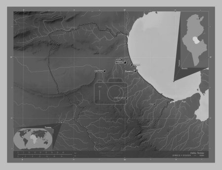
Gabes, governorate of Tunisia. Grayscale elevation map with lakes and rivers. Corner auxiliary location maps

Önizleme filigranlıdır. Orijinal dosya lisans alındıktan sonra indirilir.

Açıklama

Gabes, governorate of Tunisia. Grayscale elevation map with lakes and rivers. Corner auxiliary location maps

Benzer içerikler
Gabes, governorate of Tunisia. Grayscale elevation map with lakes and rivers. Locations of major cities of the region. …
Yarr65 DP-642583618
Gabes, governorate of Tunisia. Grayscale elevation map with lakes and rivers. Locations and names of major cities of th…
Yarr65 DP-642496708
Tataouine, governorate of Tunisia. Grayscale elevation map with lakes and rivers. Locations and names of major cities o…
Yarr65 DP-642551978
Kara, region of Togo. Grayscale elevation map with lakes and rivers. Locations of major cities of the region. Corner au…
Yarr65 DP-642490294
Tataouine, governorate of Tunisia. Grayscale elevation map with lakes and rivers. Corner auxiliary location maps
Yarr65 DP-642552004
Tataouine, governorate of Tunisia. Grayscale elevation map with lakes and rivers. Locations of major cities of the regi…
Yarr65 DP-642551966
Extreme-Nord, Kamerun bölgesi. Göllü ve nehirli çift katlı yükseklik haritası. Köşedeki yedek konum haritaları
Yarr65 DP-610563384
Gall Stereografik projeksiyonunda gri ölçekli yükseltme haritasında Somali tektonik plakası meridyensel olarak ortalanm…
Yarr65 DP-667135644
Kebili, governorate of Tunisia. Grayscale elevation map with lakes and rivers. Locations and names of major cities of t…
Yarr65 DP-642549730
Extreme-Nord, Kamerun bölgesi. Göllü ve nehirli çift katlı yükseklik haritası. Bölgenin büyük şehirlerinin yerleri. Köş…
Yarr65 DP-610563620
Kebili, governorate of Tunisia. Grayscale elevation map with lakes and rivers. Locations of major cities of the region.…
Yarr65 DP-642549634