İçeriğe geç

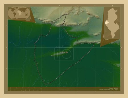
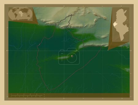
Tozeur, governorate of Tunisia. Colored elevation map with lakes and rivers. Corner auxiliary location maps
Önizleme filigranlıdır. Orijinal dosya lisans alındıktan sonra indirilir.

Açıklama

Tozeur, governorate of Tunisia. Colored elevation map with lakes and rivers. Corner auxiliary location maps

Benzer içerikler

Tozeur, governorate of Tunisia. Colored elevation map with lakes and rivers. Locations of major cities of the region. C…
Yarr65 DP-642552348
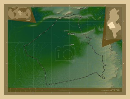
Kebili, governorate of Tunisia. Colored elevation map with lakes and rivers. Locations of major cities of the region. C…
Yarr65 DP-642549850
Tozeur, governorate of Tunisia. Colored elevation map with lakes and rivers. Locations and names of major cities of the…
Yarr65 DP-642552384
Kebili, governorate of Tunisia. Colored elevation map with lakes and rivers. Locations and names of major cities of the…
Yarr65 DP-642549886
Matrouh, Mısır Valisi. Gölleri ve nehirleri olan renkli yükseklik haritası. Köşedeki yedek konum haritaları
Yarr65 DP-612099052
El Oued, Cezayir vilayeti. Gölleri ve nehirleri olan renkli yükseklik haritası. Bölgenin büyük şehirlerinin yerleri. Kö…
Yarr65 DP-606591030
El Oued, Cezayir vilayeti. Gölleri ve nehirleri olan renkli yükseklik haritası. Köşedeki yedek konum haritaları
Yarr65 DP-606591056
Kebili, governorate of Tunisia. Colored elevation map with lakes and rivers. Corner auxiliary location maps
Yarr65 DP-642549884
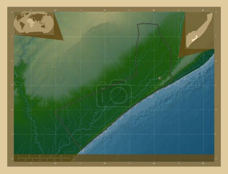
Shabeellaha Hoose, region of Somalia Mainland. Colored elevation map with lakes and rivers. Corner auxiliary location m…
Yarr65 DP-642241668
Gracias a Dios, Honduras Bölümü. Gölleri ve nehirleri olan renkli yükseklik haritası. Köşedeki yedek konum haritaları
Yarr65 DP-612141308
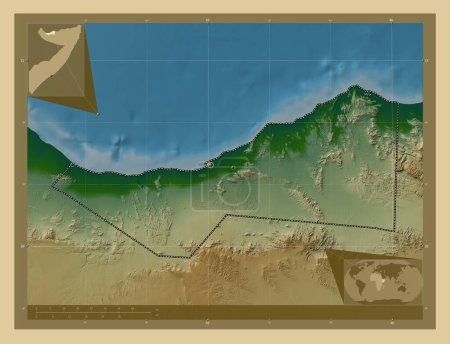
Sahil, region of Somalia. Colored elevation map with lakes and rivers. Locations of major cities of the region. Corner …
Yarr65 DP-642236688
Sahil, region of Somalia. Colored elevation map with lakes and rivers. Corner auxiliary location maps
Yarr65 DP-642236736