İçeriğe geç

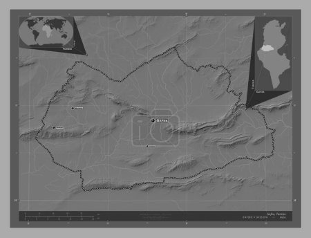
Gafsa, governorate of Tunisia. Bilevel elevation map with lakes and rivers. Locations and names of major cities of the …
Önizleme filigranlıdır. Orijinal dosya lisans alındıktan sonra indirilir.

Açıklama

Gafsa, governorate of Tunisia. Bilevel elevation map with lakes and rivers. Locations and names of major cities of the region. Corner auxiliary location maps

Benzer içerikler

Gafsa, governorate of Tunisia. Bilevel elevation map with lakes and rivers. Corner auxiliary location maps
Yarr65 DP-642583778
Gafsa, governorate of Tunisia. Bilevel elevation map with lakes and rivers. Locations of major cities of the region. Co…
Yarr65 DP-642583754
Beja, governorate of Tunisia. Bilevel elevation map with lakes and rivers. Locations and names of major cities of the r…
Yarr65 DP-642496020
Iringa, region of Tanzania. Bilevel elevation map with lakes and rivers. Locations of major cities of the region. Corne…
Yarr65 DP-642479146
Manubah, governorate of Tunisia. Bilevel elevation map with lakes and rivers. Locations and names of major cities of th…
Yarr65 DP-642550472
Iringa, region of Tanzania. Bilevel elevation map with lakes and rivers. Locations and names of major cities of the reg…
Yarr65 DP-642479168
Bamingui-Bangoran, Orta Afrika Cumhuriyeti ili. Gölleri ve nehirleri olan gri tonlama yükseklik haritası. Bölgenin büyü…
Yarr65 DP-610507602
Baranya, Macaristan Bölgesi. Gölleri ve nehirleri olan gri tonlama yükseklik haritası. Bölgenin büyük şehirlerinin yerl…
Yarr65 DP-612142504
Hauts-Bassins, Burkina Faso bölgesi. Göllü ve nehirli çift katlı yükseklik haritası. Bölgenin büyük şehirlerinin yerler…
Yarr65 DP-608924734
Komarom-Esztergom, Macaristan Bölgesi. Gölleri ve nehirleri olan gri tonlama yükseklik haritası. Bölgenin büyük şehirle…
Yarr65 DP-612143634
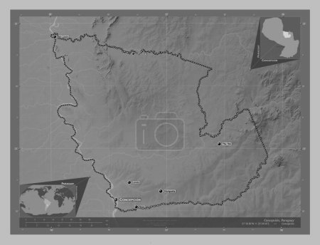
Concepcion, department of Paraguay. Grayscale elevation map with lakes and rivers. Locations and names of major cities …
Yarr65 DP-637574708
Le Kef, governorate of Tunisia. Bilevel elevation map with lakes and rivers. Locations and names of major cities of the…
Yarr65 DP-642549988