İçeriğe geç

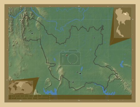
Udon Thani, province of Thailand. Colored elevation map with lakes and rivers. Corner auxiliary location maps

Önizleme filigranlıdır. Orijinal dosya lisans alındıktan sonra indirilir.

Açıklama

Udon Thani, province of Thailand. Colored elevation map with lakes and rivers. Corner auxiliary location maps

Benzer içerikler
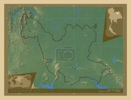
Udon Thani, province of Thailand. Colored elevation map with lakes and rivers. Locations of major cities of the region.…
Yarr65 DP-643273046
Udon Thani, province of Thailand. Colored elevation map with lakes and rivers. Locations and names of major cities of t…
Yarr65 DP-643273104
Yasothon, province of Thailand. Colored elevation map with lakes and rivers. Corner auxiliary location maps
Yarr65 DP-643275222
Yasothon, province of Thailand. Colored elevation map with lakes and rivers. Locations of major cities of the region. C…
Yarr65 DP-643275218
Udon Thani, province of Thailand. Elevation map colored in wiki style with lakes and rivers. Corner auxiliary location …
Yarr65 DP-643273236
Sa Kaeo, province of Thailand. Elevation map colored in wiki style with lakes and rivers. Corner auxiliary location maps
Yarr65 DP-643263022
Bukhoro, Özbekistan bölgesi. Gölleri ve nehirleri olan renkli yükseklik haritası. Köşedeki yedek konum haritaları
Yarr65 DP-651162446
Cojedes, Venezuela eyaleti. Gölleri ve nehirleri olan renkli yükseklik haritası. Bölgenin büyük şehirlerinin yerleri. K…
Yarr65 DP-651241930
Central Equatoria, state of South Sudan. Colored elevation map with lakes and rivers. Corner auxiliary location maps
Yarr65 DP-642261446
Cojedes, Venezuela eyaleti. Gölleri ve nehirleri olan renkli yükseklik haritası. Köşedeki yedek konum haritaları
Yarr65 DP-651241976
Niari, Kongo Cumhuriyeti bölgesi. Gölleri ve nehirleri olan renkli yükseklik haritası. Bölgenin büyük şehirlerinin yerl…
Yarr65 DP-611089246
Ashanti, Gana bölgesi. Gölleri ve nehirleri olan renkli yükseklik haritası. Bölgenin büyük şehirlerinin yerleri. Köşede…
Yarr65 DP-612125130